
A public meeting is expected early this summer on a proposed re-do of Irving Street in northern Washington, D.C. Irving currently has three rootin'-tootin' lanes each way, making it the exemplar of an auto conduit that had been grafted onto the urban framework in the day when everyone was going to drive everywhere. Its average daily traffic count is 18300-20400, meaning that most of the day its high capacity and superhighway design create an invitation to drive fast.
Part of the plan for Irving Street is to create two-way protected bike lanes. Washington has a lot of bike infrastructure, compared to other places I've spent time, but it has a lot of active cyclists as well. Moreover, there is a hole in the bike map right about here; there is no way to get by bicycle from the northwest side to the northeast side (or vice versa) north of R Street. So viable bike lanes would create an important link in the system, connecting the Brookland neighborhood to Columbia Heights and Petworth, and creating bike access to the Washington Hospital Center, Catholic University and other area employers.
It also promises to improve pedestrian access/safety by slowing the cars. When I walked the proposed route on a windy Thursday mid-afternoon, I saw only one cyclist (on the sidewalk) but quite a few pedestrians going both directions. Every single time I stopped at a curb a driver waved me across, a still-amazing-to-me feature of Washington that I'm going to have to unlearn once I leave. But that's not something you can necessarily count on, even here, particularly when they're merging off or onto the cloverleaf at North Capitol.
 |
| Kenyon Street at the west end of the route, just east of Warder. Kenyon's already under construction, so it's hard to tell how it would be impacted. |
 |
| Wangari Gardens, on the south side of Kenyon, approaching the merge into Irving |
 |
| Wangari Gardens again. How many of those 18300-20400 speeding cars know this is here? |
 |
| Kenyon and Irving. Wonder what happened here? |
 |
| Crosswalk from the southside of Kenyon to the south side of Irving. (The bike lanes would likely be on the north side of the streets.) |
 |
| Approaching Washington Hospital Center. At 1st Street NW, one scenario has the lanes shifting from the north side of Irving to the center median, which will be a tricky interface indeed |
 |
| Approaching the cloverleaf intersection with North Capitol Street |
 |
| Part two of the cloverleaf. In the distance is the majestic basilica at Catholic U. We are now on the northeast side. |
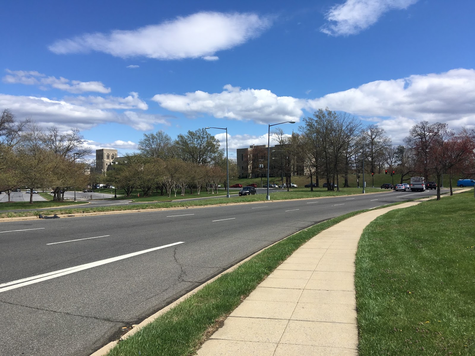 |
| Approaching Catholic University, Irving intersects with Michigan. The lanes would continue on Michigan for one block. |
 |
| Intersection of Michigan and 4th Streets from the steps of the basilica. 4th Street NE will have protected bike lanes soon, from Michigan south to Lincoln. |

So I'm guessing the widening of Irving happened to compensate for the central freeway not being built?
 |
| The Green Line was constructed instead |
 |
| Protesting the Central Freeway proposal in Brookland (taken at the Anacostia Museum) |
 |
| Protesting the Central Freeway proposal in Brookland (taken at the Anacostia Museum) |
SEE ALSO: Crosstown Multimodal Study
 |
| Source: dccrosstownstudy.com |


No comments:
Post a Comment