|
| That was a blizzard (2015) |
Ten years ago the weather was different than it is this week. A big pile of snow--11 inches, says my post--got dumped on Iowa as January 2015 turned into February. This year, we're in a stretch of unseasonably warm weather including a couple record high temperatures and a couple more near-records. 2024-25 been a warm dry winter, which could be random luck, but we should know better than that by now.
I produced my own blizzard, of questions, ten years ago. This anniversary post seemed a good time to revisit them.
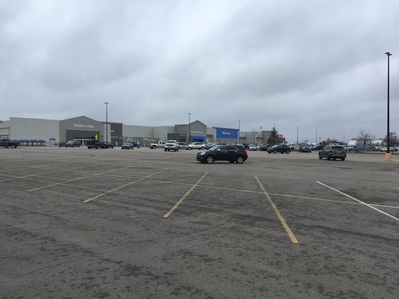
- Why are we still building sprawl?
- Can downtown develop/be developed by a resilient transportation system?
- How should I be rooting on the federal transportation bill?
- How should we consider climate change in planning?
- Why is the clearing of public sidewalks the responsibility of the homeowner, even though the clearing of public streets is undertaken by the government?
These questions are pretty central to how we design our cities, allowing that #5 was dropped on me by a work colleague while I was working on that post, so it got looped in. City design may strike a person more urgently during a blizzard than it does when the big-box store is a simple 20-minute drive away. My 2015 frustration at the pace of positive change, too, probably reflected fatigue from the hard work of snow removal.
 |
| Never not contemplating urbanism |
Surely people were going to grasp that local government finances are driven by the demands we place on it, not by waste, fraud and abuse? That cities won't be able forever to rely on federal and state money to make up whatever funding gaps result? That public transit unlike private vehicles is scalable in a way that supports intensive economic development? That climate change makes new demands on our capacity to be resilient?
However, "There's drudgery in social change, and glory for the few," sang Billy Bragg. Today the urgency of approaching urban design differently is, if possible, less apparent at all levels of government. I've gone from being mildly frustrated to totally appalled. Urbanist design comes recommended for all sorts of reasons related to our common life: environmental sustainability in the face of climate change, place attachment, exercise, inclusion, community-building, and financial resilience.
Strong Towns has been saying for years that local governments rely too heavily on federal and state financial assistance, which makes big development projects and sprawl seem cost-free. (See Charles L. Marohn, Jr., Strong Towns: A Bottom-Up Revolution to Rebuild American Prosperity [Wiley, 2020] for the complete argument.) Twelve erratic years of federal government shutdowns and near-shutdowns haven't apparently changed the towns' short-term thinking. Maybe a freeze on federal grants--one was declared January 27, temporarily blocked by a judge the following day, and then rescinded (see Parker 2025)--would jolt localities into more productive approaches to development?
Ten years ago, Washington infighting was imperiling appropriations for the
Department of Transportation, which funds state and local transportation
projects. Eventually the bill got passed, but to what end? Though the
Joe Biden administration nudged these projects in the direction of
transit, transportation funding goes predominantly for roadway construction
and expansion, which reinforces our already car-centric development.
That's what prompted question #3 on my list. I followed up: If the federal government is the founder of this ridiculous feast,
maybe if they cut off the allowance states and localities will be forced
to be rational?... It would be at least interesting, because at least local choices would be clearer.
Nor has an increasing pile of climate disasters catalyzed urbanism. Climate science is a key element of the "woke bullshit" President Trump feels he has a mandate to quash (For the risks inherent in Trump's aggressive climate change denial, see Flavelle 2025). Within 24 hours of Trump's inauguration, acting Environmental Protection Administration head James Payne fired all members of the Science Advisory Board and the Clean Air Advisory Board, and the U.S. withdrew from the international climate talks known as the Paris Accord. Trump is attempting to pause federal grants for clean-energy projects, slash or purge the federal workforce, and has appointed a pro-extraction, climate change-denying permanent EPA administrator who has little environmental experience (Davenport 2025). It's not clear that professional environmental staff will be gagged as health staff have been, but it seems likely they will be strongly discouraged from speaking openly about anything important.
In Iowa, we're not going to talk about the climate, either. Land in Iowa is plentiful and cheap, and we apparently trust the oil lobby to make sure we still have access to gasoline for our (ever larger) vehicles. So new K-12 science standards excise the term "climate change" (in favor of "climate trends"), along with the word "evolution." Reference to human impacts on the climate will also be removed from education (Luu 2025). If we don't talk about it, maybe it will all go away?

Maybe the answers will come, not by restoring urbanism, but some wholly new design concept. Geographer Stephanie Wakefield raises that possibility in a piece for Next City that promotes her forthcoming book about the future of Miami:
Rather than an endless expanse of cities and urbanization processes with seemingly no terminus — the latter destined to be but fodder for ever greater resilience of the former — might the Anthropocene’s human and nonhuman dislocations produce other spaces, processes and imaginaries entirely? (quoted at Ionescu 2025)
I'm definitely curious about what these spaces and imaginaries might be, although I don't know how well I'll do with an entire book written in the manner of the sentence quoted above. Wakefield suggests localities will have additional design/form considerations beyond the urban-or-suburban dichotomy I'm used to.
As it happens, later this month I'll be in St. Petersburg on the opposite side of the State of Florida. I'm looking forward to seeing what people are calling the large body of water between Florida and Texas, but also how they are dealing with likely climate threats. Here is a map of future sea level contingencies from Advantage Pinellas, the long-range transportation plan produced by Forward Pinellas, which is the St. Petersburg-area Metropolitan Planning Organization.
 |
| from Advantage Pinellas (2024, p. 41) |
The first thing to notice is that's a fair chunk of land that's theoretically going to be under water. The second thing to notice is Metropolitan Planning Organizations, like Forward Pinellas and our own Corridor MPO, are funded by the U.S. government. That means our tax dollars are paying for this "woke bullshit!" How much longer will Advantage Pinellas remain online? I've downloaded it, just in case. For now, it's encouraging that people--at least those who staff MPOs--are thinking about resilient, inclusive, livable, prosperous futures. Bless them for it. Whether they will be allowed to keep doing so is at this point unanswerable.
Strong Towns has always maintained a local focus, treating national politics as not-my-circus-not-my-monkeys. I'm not sure how valid this is anymore. At the state and national levels, powerful industry interests and Project 2025 ideologues are making the rules now, and if there's information that threatens them, they'll do their best to suppress it. Localities could try to figure things out on their own, but constitutionally they're limited by state action, and anyhow it's just easier to keep doing what we've been doing.
So, my answers to the questions I posed ten years ago:
- Why are we still building sprawl? Because it's the policy path of least resistance, residential and commercial developments can be large enough to be highly profitable, and localities get the property taxes without immediate needs for service.
- Can downtown develop/be developed by a resilient transportation system? Probably not, because most cities don't have the political or financial independence for this to happen.
- How should I be rooting on the federal transportation bill? Doesn't matter. Streets and highways will always get taken care of, however imperfectly they are maintained once their built.
- How should we consider climate change in planning? Consider a range of possible outcomes for which we need to be prepared, and support rather than suppressing research.
- Why is the clearing of public sidewalks the responsibility of the homeowner, even though the clearing of public streets is undertaken by the government? Street maintenance sucks up a lot of resources, so we get mandates on property owners instead.
I hope I'm still around in 2035 to admit how wrong I was back in 2025!
ORIGINAL POST: "Blizzards Get You Thinking," 1 February 2015
SEE ALSO: C40 Global Cities website: international intracity climate action networ. Hearing Helene Chartier from this organization speak on the Cities for Everyone webinar the morning after my post made me feel somewhat more hopeful.

")
")
")
")

")
")